To filter posts, select buttons in sub-categories below. Filters are cumulative, use reset button to to go back to seeing all posts.
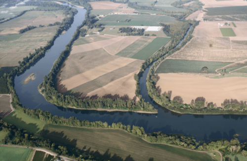
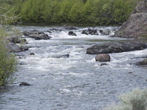
How Can We Reduce Mercury in the Willamette Basin?
Photo by Dave Logan For over two decades, mercury has been contaminating fish in the… Continue Reading How Can We Reduce Mercury in the Willamette Basin?

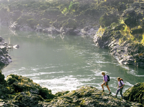
Impacts of Changing Snowpack in the Pacific Northwest
Photo by Wyatt Mullen This post is part of our collaboration with Portland State University… Continue Reading Impacts of Changing Snowpack in the Pacific Northwest
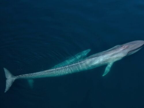
Blue Whales
A Mysterious Sighting In late June of 2025, marine biologist Carrie Newell witnessed a rare… Continue Reading Blue Whales
Oregon Water Stories: Multnomah County
Oregon Water Stories is a project of PSU Professor Melissa Haefner’s freshman inquiry class, running… Continue Reading Oregon Water Stories: Multnomah County
Celebrating Earth Day 2025
Happy Earth Day 🌎 🌍 🌏 You can make an impact today—and every day—by connecting… Continue Reading Celebrating Earth Day 2025
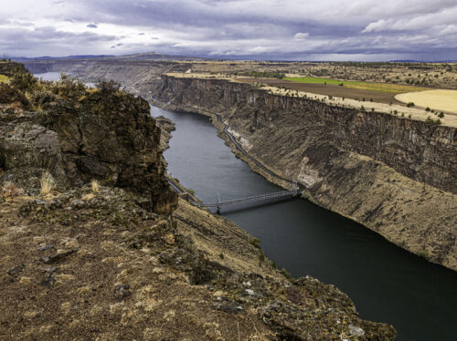
Oregon Water Stories: Jefferson County
Oregon Water Stories is a project of PSU Professor Melissa Haefner’s freshman inquiry class, running… Continue Reading Oregon Water Stories: Jefferson County
Honoring our Rivers Student Art Anthology
Honoring Our Rivers is a collection of student art and creative writing about water, river… Continue Reading Honoring our Rivers Student Art Anthology
Oregon Water Stories: Lincoln County
Oregon Water Stories is a project of PSU Professor Melissa Haefner’s freshman inquiry class, running… Continue Reading Oregon Water Stories: Lincoln County
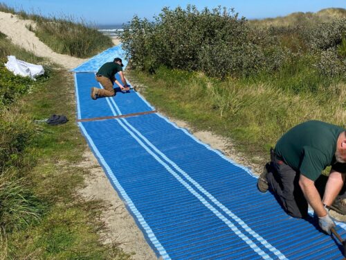
Beachside Accessibility
Have you recently visited the Oregon Coast and found the blue carpet rolled out for… Continue Reading Beachside Accessibility
Oregon Water Stories: Lake County
Oregon Water Stories is a project of PSU Professor Melissa Haefner’s freshman inquiry class, running… Continue Reading Oregon Water Stories: Lake County
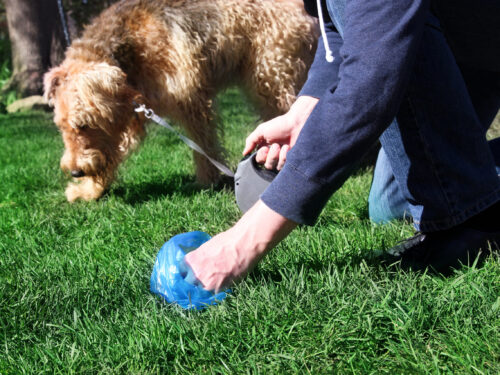
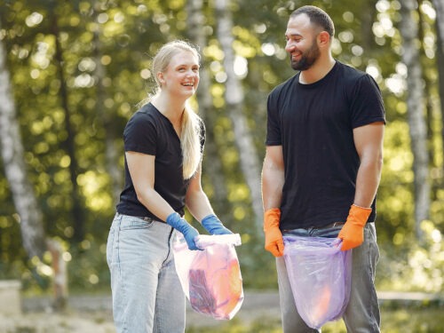
Scoop the Poop! For Our Water
Unfortunately, uncollected pet waste doesn’t just disappear. Dog poop is gross to step in, disrespectful… Continue Reading Scoop the Poop! For Our Water
Oregon Water Stories: Umatilla County
Oregon Water Stories is a project of PSU Professor Melissa Haefner’s freshman inquiry class, running… Continue Reading Oregon Water Stories: Umatilla County
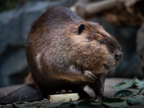
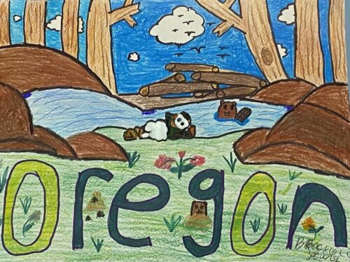
The North American Beaver
Who’s our long-in-the-tooth friend who lives down by the river? Of course, it’s Oregon’s state… Continue Reading The North American Beaver
Oregon Water Stories: Josephine County
Oregon Water Stories is a project of PSU Professor Melissa Haefner’s freshman inquiry class, running… Continue Reading Oregon Water Stories: Josephine County
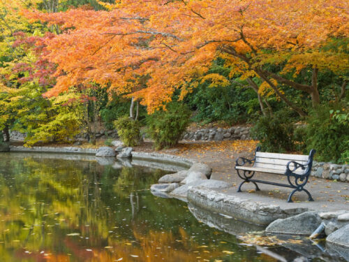
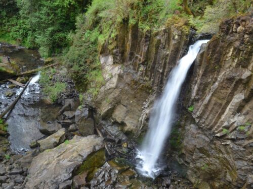
Lithia Park
What activities can you enjoy in Southern Oregon? A pleasant walk to Lithia Park can… Continue Reading Lithia Park